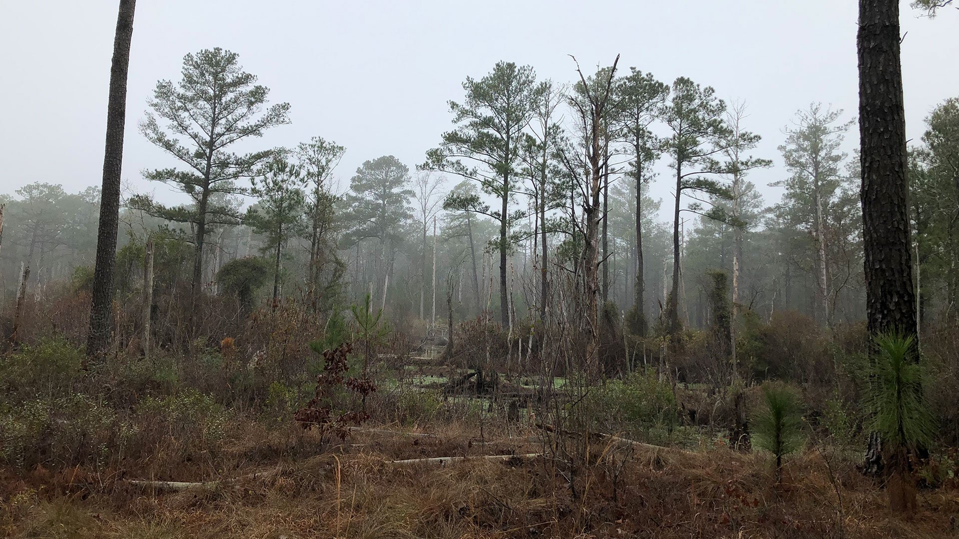
Beaver Creek Watershed Assessment
Fort Bragg, North Carolina
Project Summary:
The Beaver Creek Watershed Assessment was a data collection, condition assessment, and watershed simulation modeling effort for the entire 3,722-acre Beaver Creek Watershed (from the confluence with Big Branch Creek) located in the heart of Fort Bragg, North Carolina. The project scope included inventory of stormwater infrastructure condition and location through field surveys (horizontal and vertical location of system components), delivery of collected data in Geographic Information System (GIS) format, and creation of a SWMM-based watershed simulation model using PCSWMM. The results of the analysis were delivered in a comprehensive report of the modeling effort and condition assessment of the hydraulically significant structures, including preliminary recommendations for areas of further study and hydraulic improvement.
Project Role
Riverview Engineering provided Water Resources Engineering services for the Beaver Creek Watershed Assessment as an independent contractor to CEMS Engineering.
Services Provided:
Riverview Engineering provided Water Resources Engineering services including:
Hydrology and Hydraulic Modeling
Stormwater Infrastructure Assessment
Stormwater Infrastructure Mapping
PCSWMM Model of Beaver Creek Watershed
Fort Bragg MICC
Design Phase: 2019
Regulatory and Permitting:
The Beaver Creek Watershed Assessment was reviewed and approved by Fort Bragg Department of Public Works (DPW).
Teaming and Collaboration:
Prime: CEMS Engineering, Inc
Surveyor: McKim and Creed, PA
Subcontractor: Blossom Consulting and Engineering, Inc.
Project Highlights:
Acquisition of initial data by obtaining readily available topography, aerial imagery, soils, land use, land cover, weather, infrastructure, and other required information from the Fort Bragg DPW and other public sources.
Delineated the Beaver Creek watershed utilizing readily available information.
Generated Stormwater System Inventory, which included produced maps of stormwater system utilizing readily available and generated information using SWMM modeling.
Developed a Hydrologic and Hydraulic (H&H) watershed response simulation model utilizing the Environmental Protection Agency’s Storm Water Management Model (SWMM). Provided Stormwater System Analysis using the available information above and developed model to analyze performance of the stormwater system.
Developed Preliminary Recommendations for Ft. Bragg to consider for future studies to improve failures indicated by the model.


